


Sulphur Creek Trestle Battle Site
Limestone County, Alabama
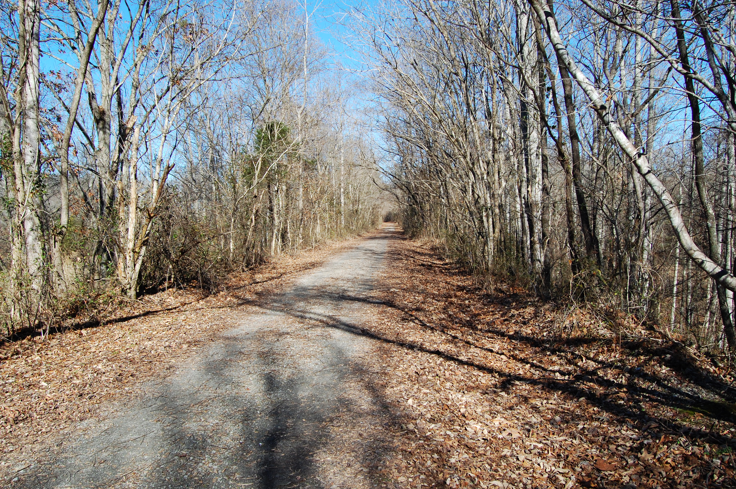
Photo #1. Former Nashville & Decatur railroad line bed, camera facing north.
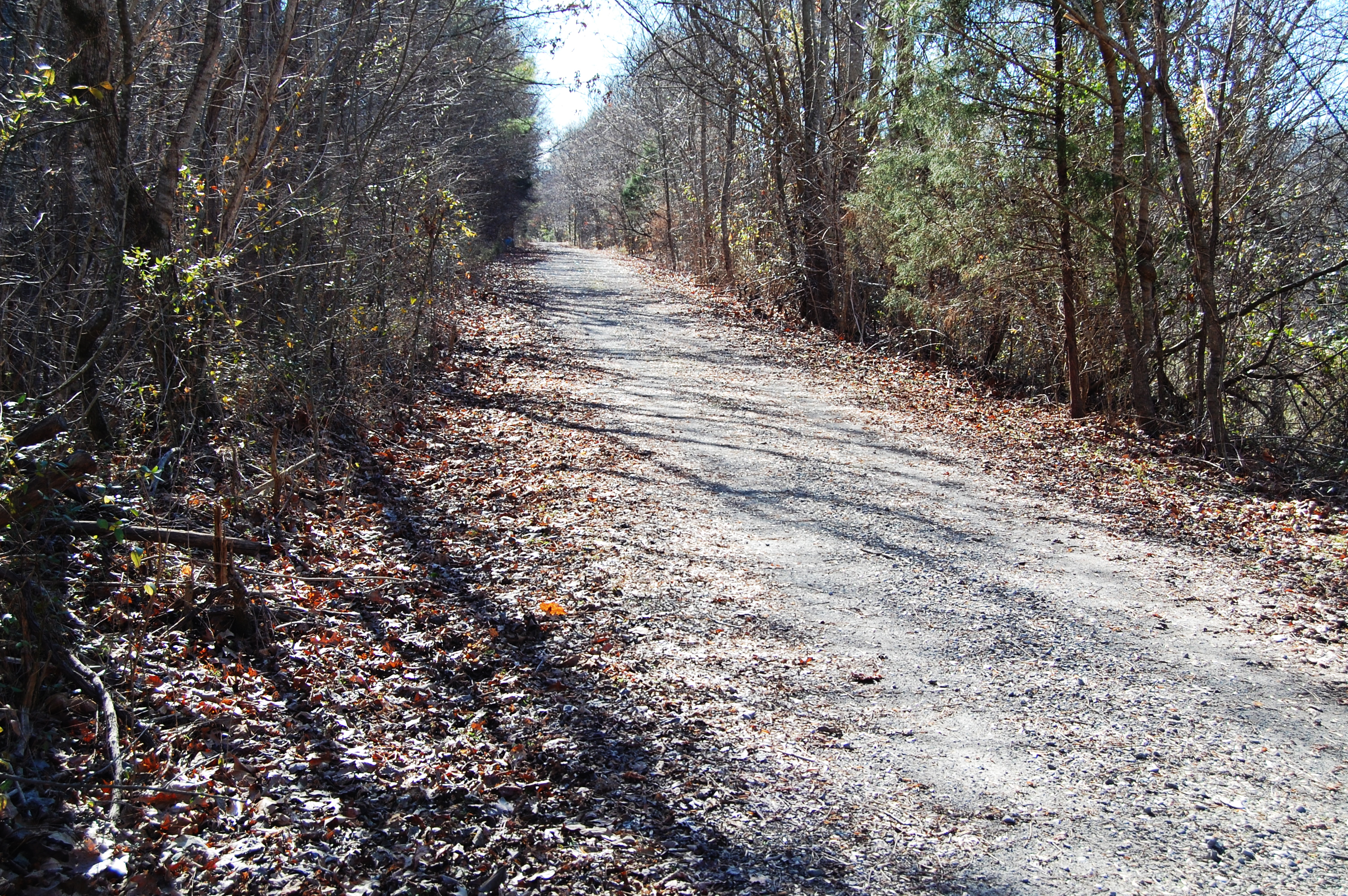
Photo #2. Former Nashville & Decatur railroad line bed, camera facing south,
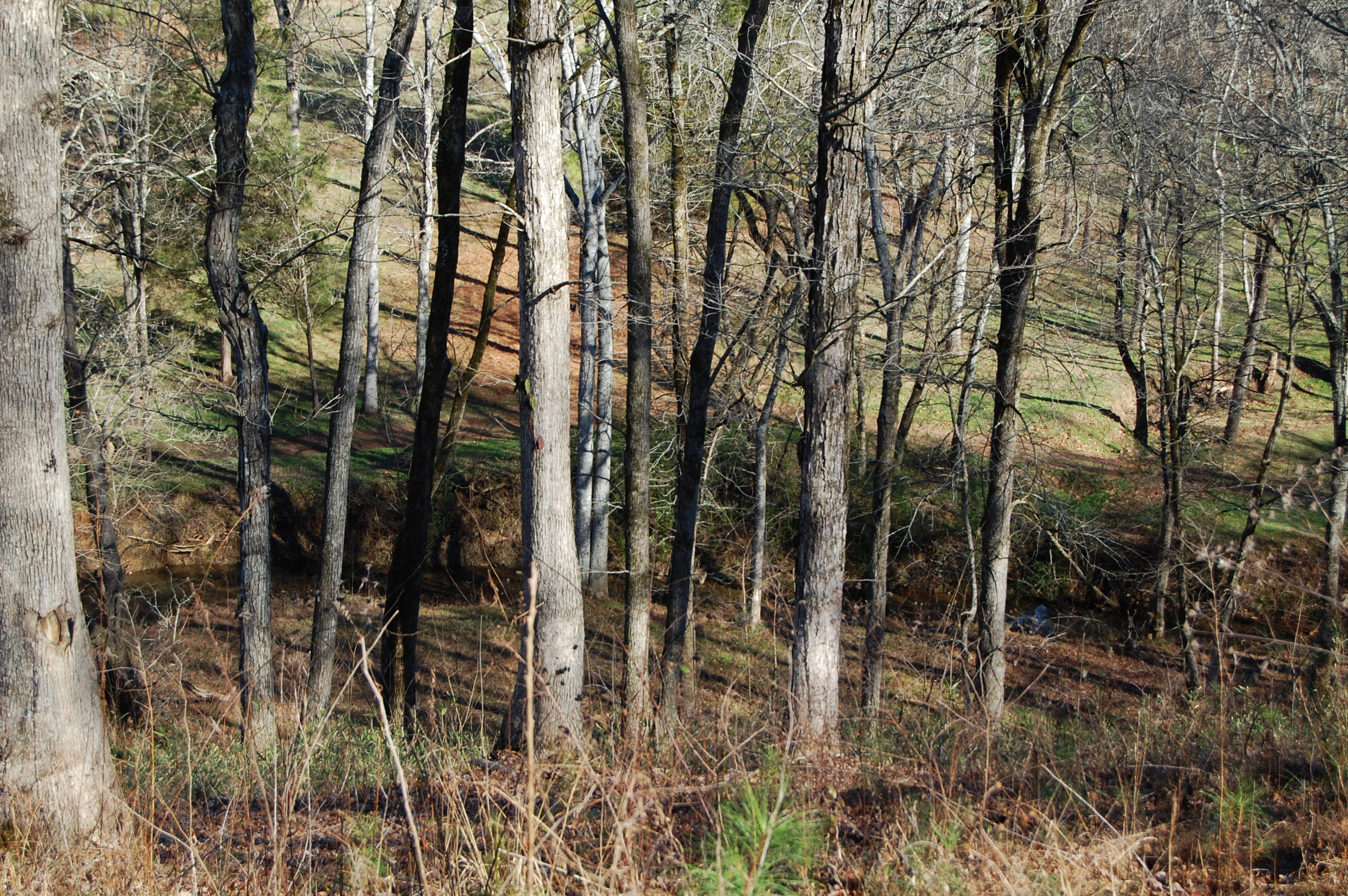
Photo #3. View of Sulphur Creek from fort site, camera facing north.
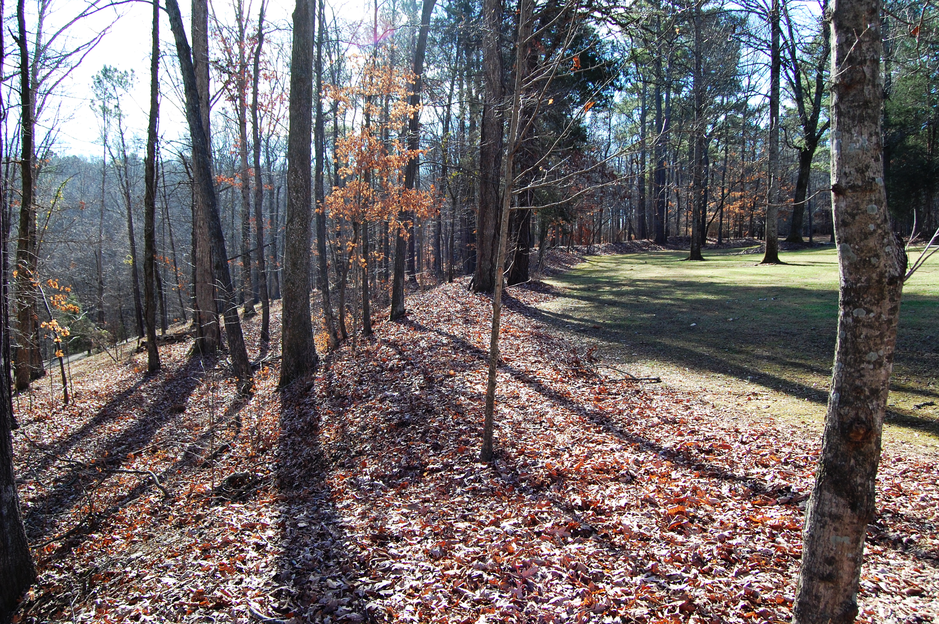
Photo #4. View of fort site, showing hillside, camera facing east.
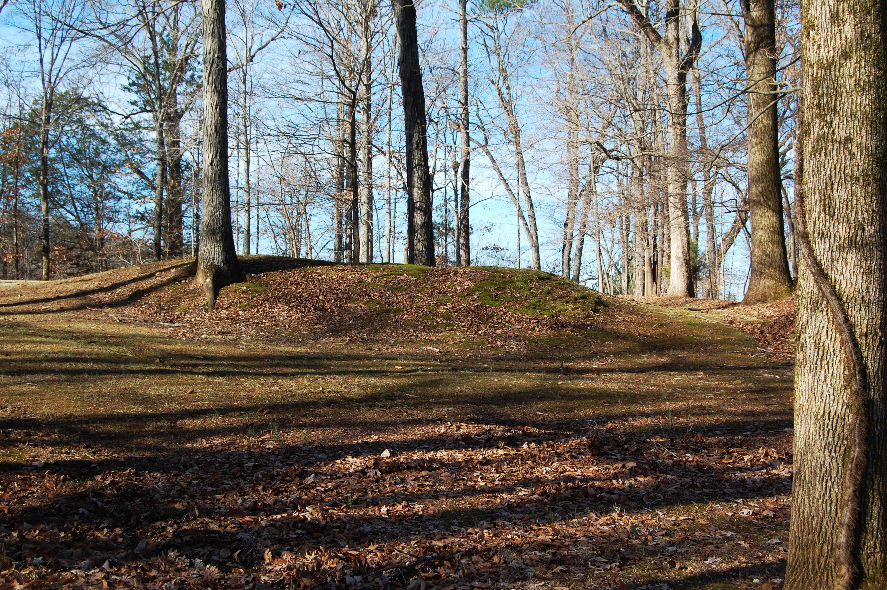
Photo #5. Remains of powder magazine, camera facing north.
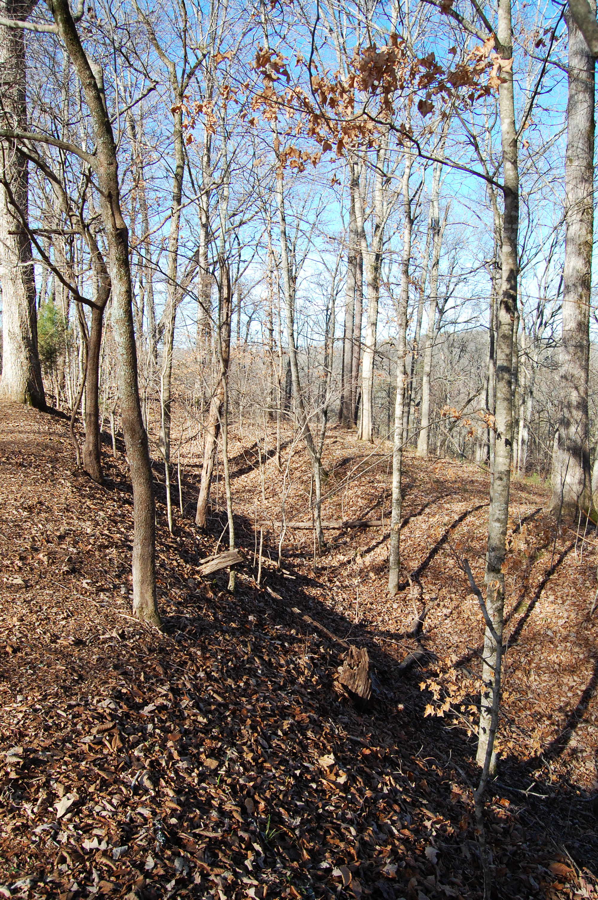
Photo #6. Rifle pits, camera facing west.
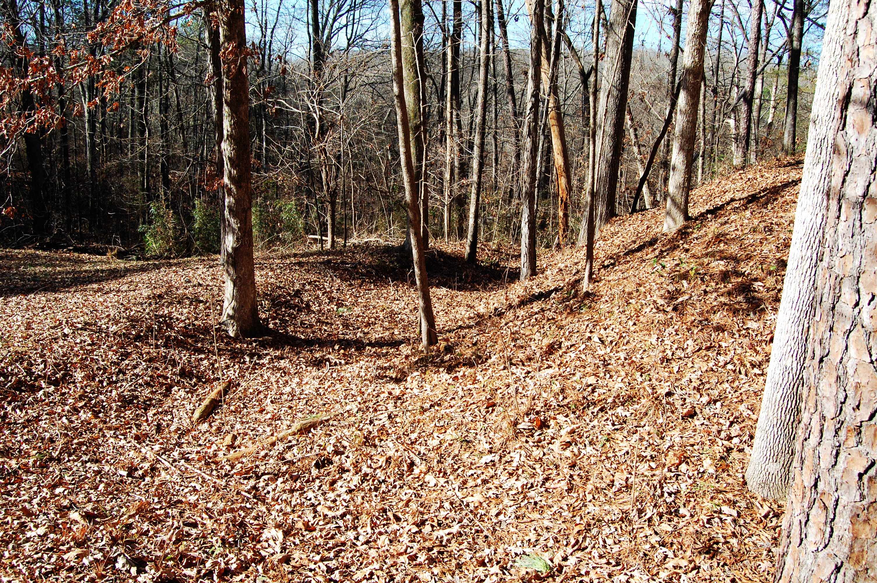
Photo #7. Rifle pits, camera facing east.
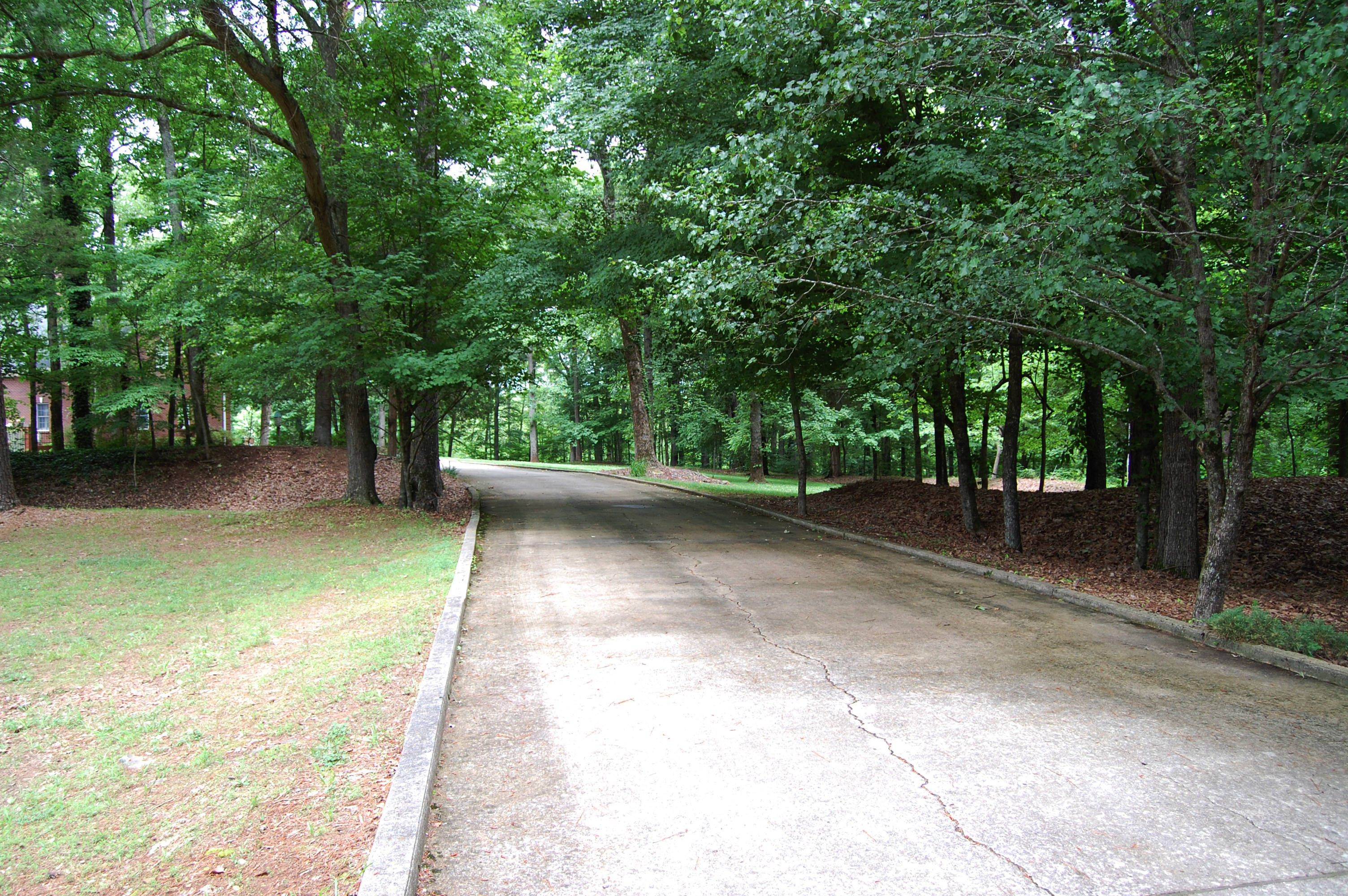
Photo #8. Driveway crossing rifle pits, camera facing north.
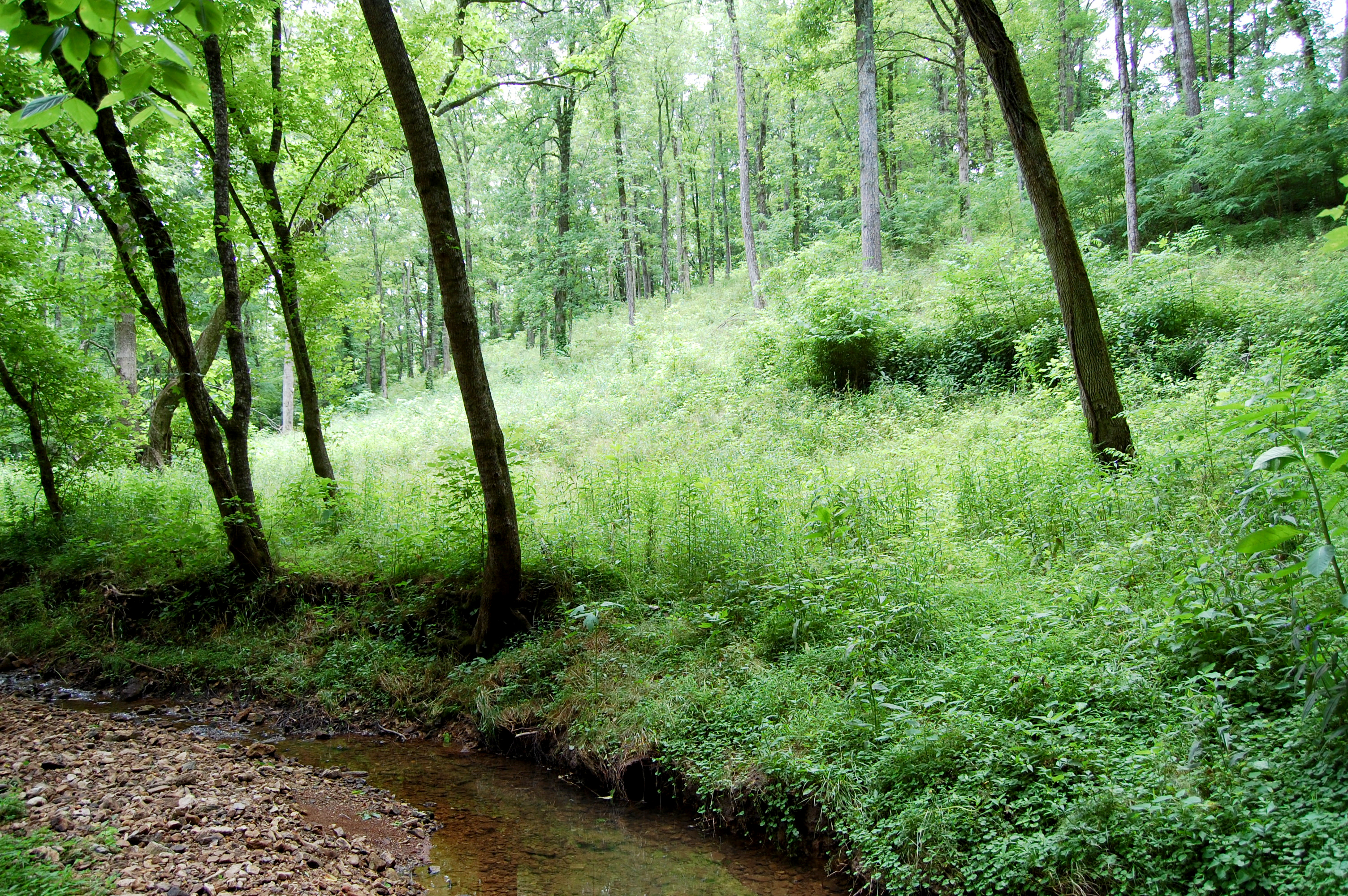
Photo #11. Northeast hillside of fort, camera facing south.
Contributing Resources:
The major defining features of the battlefield landscape are 1) the fort site, 2) the railroad bed, and 3) the surrounding hills to the southwest, west, and east of the fort site.Fort Site (previously listed resource):
The fort site sits at an elevation of approximately 790 feet, which would have provided a good point of observation for the trestle to the north and the railroad line to the south. The hilltop on which the 300x300 four-bastioned earthwork fort sat is extremely steep on the north, east, and west sides, making it difficult for enemy troops to launch a linear attack from any of these directions. The southern edge of the fort faced an open field on a plateau, which would have given Union forces a clear line of fire on advancing enemy troops. The fort was surrounded by rifle pits, approximately 400 yards of which remain intact. Additional rifle pits were located 200 yards to the south of the fort site. Two blockhouses with cannon embrasures sat on the northwest and southeast corners. Despite the fact that a private home was constructed in 1987 in what was the center of the fort in 1864, the majority of the surrounding landscape retains integrity, including the rifle pits which remain largely intact. With the exception of where the driveway crosses the rifle pits on the southern edge of the fort, the pits have been well-preserved and clearly define the fort boundaries today (Photographs 4, 6, 7, 8). An earthen structure resembling a Civil War-era powder magazine sits on the eastern edge of the fort site. The powder magazine, an underground room with dirt piled on top of it to reinforce the structure, would have been the storage location for extra artillery shells and other types of ammunition. The 12-pound howitzers located in the fort used fixed ammunition rounds made of powder and projectiles, requiring a powder magazine (Photograph 5). The hillsides on the north, east, and west are heavily wooded (Photograph 3, 11). There is minimally invasive landscaping. The property owners have disturbed as little of the site as possible. The Railroad Bed (contributing resource):
The trestle bridge, which is no longer standing, was 72 feet high at its center and 300 feet long. The bridge overlooked a valley extending more than 100 yards to the west and 550 yards to the south. Gen. Forrest and his men burned the trestle bridge after they captured the fort. The line was rebuilt after the war’s conclusion. While the railroad lines and ties were removed after 1986, the raised railroad bed clearly illustrates this central feature of the battlefield landscape (Photographs 1, 2). Battlefield Site (contributing site):
The battlefield landscape reveals important information about the events leading to the Union defeat on September 25, 1864. At the time of the battle, the area directly around the fort and inside the fort’s walls was devoid of trees. However, the adjacent hills to the southwest and east were thickly wooded. While this landscape restricted mobility, it also provided cover and concealment for Gen. Forrest’s cavalry, who were known to dismount and fight as infantry in an “at skirmishers” formation. Despite the fort’s apparent strategic location, the men who constructed the fort apparently did not take into account that the fort site sat at a lower elevation than the surrounding hills. After scouting the area, Forrest realized the construction error and had his men take up positions in the hills to the west, southwest, and east of the fort. He then moved pieces of artillery to a higher elevation to the southwest of the fort, which allowed his men to fire down on the fort with relative safety. He also used the hill to the east of the fort to set up additional artillery batteries at higher elevations than the fort. A final battery was set up to the south with his line of advance. The landscape played a fundamental role in the outcome of the battle and retains historical integrity today. None of the surrounding hills have been developed, though they have been logged in the past and the southwestern hill has been partially turned into cattle pasture.